

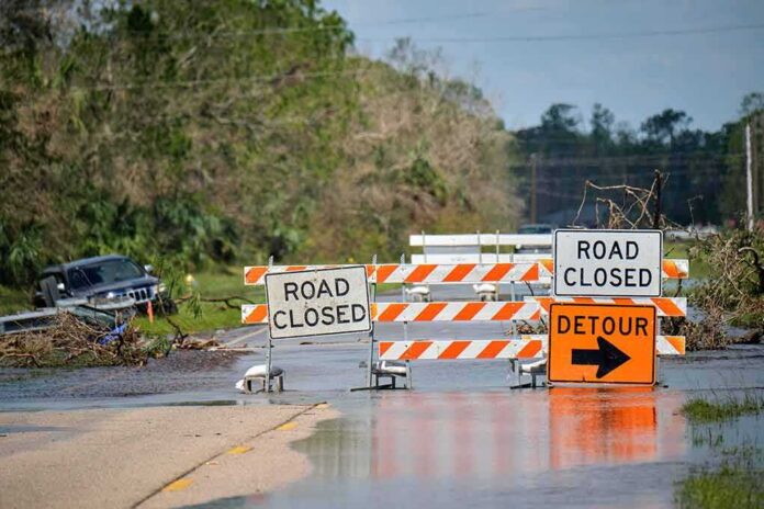
Hurricane Isaias is forecast to hit the northern Gulf Coast with dangerous storm surge, powerful winds, and flooding rains Friday night, according to federal forecasters.
Story Highlights
- National Hurricane Center warns of life-threatening storm surge from the Mississippi River mouth to Florida’s Big Bend.
- Isaias is expected to strengthen and remain a dangerous hurricane as it nears landfall Friday night.
- Hurricane and tropical storm warnings stretch from Louisiana to Florida’s Panhandle.
- Heavy rain could cause flash flooding across parts of the central Gulf Coast through the weekend.
Official Forecasts Signal Strengthening and High Impact
The National Hurricane Center (NHC) said Isaias is on track to make landfall along the northern Gulf Coast late Friday or Friday night. Advisories call for additional strengthening through early Friday, with the storm staying a dangerous hurricane near the coast. Forecast discussions also flag damaging winds and a broad rain shield sweeping inland across the Gulf Coast and parts of the Southeast into the weekend.
Storm surge warnings cover low-lying areas from the mouth of the Mississippi River to the Steinhatchee River in Florida. Surge of several feet above normally dry ground is possible in bays and sounds, where wind can push water quickly. The NHC warns that even a small track shift can change local surge depth, so people inside the warning area should follow local orders and timelines now, not later.
Warnings Extend From Louisiana Through Florida
Hurricane warnings run from Ocean Springs, Mississippi to the Bay and Gulf County line in Florida, signaling likely hurricane conditions within 36 hours. Tropical storm warnings extend west into Louisiana parishes and east along the Florida Panhandle, capturing areas that will face strong winds, heavy rain, and dangerous surf even outside the core. These alerts are designed to trigger final plans for shelter, supplies, and evacuation where ordered.
NHC rainfall guidance highlights the risk of flash flooding across parts of the central Gulf Coast from Friday through the weekend. Bands on the east and north sides of the storm can drop several inches in a short time, overwhelming drainage and trapping drivers on flooded roads. Inland counties far from the beach can still face downed trees, long power outages, and localized flooding as the storm arcs northeast.
Why Forecasts Push Action Before Landfall
Federal meteorologists base warnings on a blend of aircraft data, radar, satellites, and models. Their goal is to provide enough lead time for families and towns to act. The National Oceanic and Atmospheric Administration notes that official track forecasts are, on average, more consistent and have lower errors than single computer models, even though uncertainty remains part of every hurricane track. Isaias forecasts reflect that approach: plan for high-impact hazards across the warning zone, not a single line on a map.
Past post-storm reviews of Isaias show that official track errors can be slightly below or near recent averages at many lead times, which supports using the cone and warnings to guide risk, not to pinpoint one city. That is why officials urge people to focus on hazards like surge, wind, rain, and tornadoes within the wider warning area. Preparedness that scales to those hazards saves lives and speeds recovery after the storm passes.
Shared Stakes for Communities Up and Down the Coast
Local mayors and emergency managers will need clear roads, fuel, and steady power to protect the most vulnerable. Families face mixed messages online, but the official warnings are clear: surge and wind pose the greatest threats along the immediate coast, while flooding can hit well inland. Many readers on the left and right agree on this point—government must deliver on basics like timely alerts, open shelters, and honest updates when lives and property are on the line.
Isaias being first doesn't make it the biggest threat. The real test is whether Gulf Coast prep scaled to a fast-forming storm, not just its category. What's the evacuation trigger there?
— sofia 🦋 (@flint966_b) October 9, 2026
People in the warning areas should finish storm prep now. Charge phones, secure outdoor items, and know evacuation routes. If local officials issue an order, leave early to avoid closed bridges or flooded causeways. After landfall, stay off flooded roads and treat every downed line as live. These steps are simple, but they matter. When nature brings a test like Isaias, smart choices by neighbors and quick work by officials can keep communities safe.
Sources:
washingtontimes.com, nhc.noaa.gov, weather.gov, star.nesdis.noaa.gov