
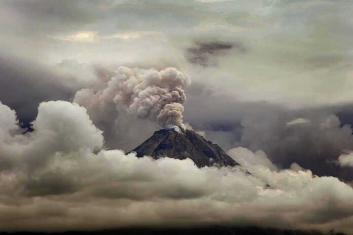
A twenty-five-year-old volcano study is back in headlines with claims of 65-foot waves hitting the U.S. East Coast—while newer science says any far-field surge would likely be closer to a storm tide.
Story Highlights
- A 2001 peer-reviewed model showed a La Palma flank collapse could send waves across the Atlantic.
- Tabloid reports cite a scientist’s worst-case of 65-foot waves in about nine hours.
- United States Geological Survey summaries say later models point to 3–7 foot waves instead.
- Experts agree the scenario is possible but do not see evidence it is imminent.
What the new alarm is claiming
The New York Post and other outlets reported a warning that a flank collapse at Cumbre Vieja, on Spain’s La Palma, could send a “cataclysmic” tsunami toward the United States. They attribute a scenario to Bill McGuire that puts waves as high as 65 feet on parts of the East Coast within about nine hours of a sudden failure. The reports do not release the model files or inputs. They present the scenario as a worst case, not a prediction.
Ward and Day’s 2001 paper sits at the heart of these claims. That study modeled a very large, fast-moving slide off La Palma’s west flank and showed that a 150 to 500 cubic kilometer block moving at high speed could launch waves across the Atlantic. Their abstract reported possible arrivals of 10 to 25 meters on American coasts in the extreme case. The paper framed these as scenario results, not as an estimate of how likely a collapse is or when it might occur.
What later science and agencies say
A United States Geological Survey article counters the megatsunami framing. It says seafloor mapping shows Canary Island collapses tend to happen in pieces, not as one giant block. It also reports that newer simulations put far-field waves along the Americas at about one to two meters in a worst-case La Palma event—hazardous but similar to strong storm surge. Phys.org coverage quotes experts who say the rapid eruption-and-whole-flank-collapse plot is not the scenario scientists fear most.
Independent references preserve the 2001 study’s core point—landslide tsunamis are physically possible—but stress how results hinge on slide size and speed. The EarthRef summary records the Ward and Day inputs and output ranges, highlighting the sensitivity to those assumptions. This is why mixing the 65-foot claim with the 2001 paper’s 10–25 meter range can mislead readers about what each model actually did and did not assume.
Why this matters for coastal planning and public trust
Emergency planners must prepare for credible hazards without crying wolf. Agencies and city teams can plan for several tiers: a near-source event around the Canaries, a mid-Atlantic shipping risk, and a far-field East Coast surge consistent with more recent models. Clear ranges help officials choose drills, signage, and alert thresholds that protect people without stoking panic over a low-probability extreme. Cities already design for storm surge; adding a landslide-tsunami layer is an incremental step, not a total rewrite.
•The X post by @PoweredByYaH retweets a “JUST IN” alert from @remarks about a scientist warning that an unstable volcano in Spain’s Canary Islands could trigger a massive tsunami hitting the US East Coast.
•The claim centers on volcanologist Bill McGuire’s recent BBC Science… https://t.co/RJUgVVC1j3— Debbie L (@dlbambam) November 7, 2026
Voters across the spectrum also see a pattern. Sensational headlines drive clicks while agencies struggle to speak in plain, honest ranges. The Ward and Day paper is real and peer reviewed. The United States Geological Survey guidance is also real and grounded in mapping and newer models. When media hype drowns out that nuance, the public is left anxious or cynical. Citizens deserve straight talk: this hazard is possible, current data do not show it is imminent, and practical prep focuses on realistic wave heights.
Sources:
nypost.com, moodys.com, onlinelibrary.wiley.com, earthref.org